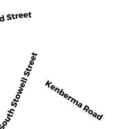
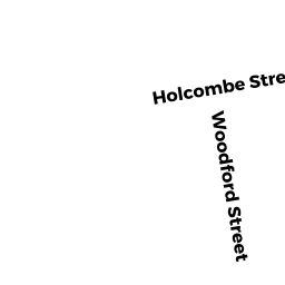
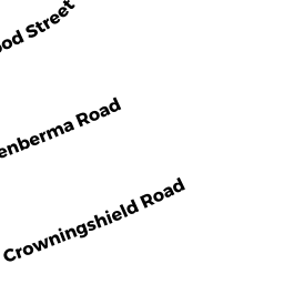
14 KENBERMA RD
Owner Information
LONG,JOHN W + ELIZABETH A
14 KENBERMA ROAD
WORCESTER, MA 01604


Property Details
14 KENBERMA RD is classified as a Single Family Residential (Ranch).
The primary structure on this property was built in 1964. There are 2,032ft2 of built area within this property. There is 920ft2 of residential/living space within this property. This property is listed as having 5 rooms.
14 KENBERMA RD is valued at $217,400. The land is valued at $53,300 and the structures are valued at $164,100.
This property is in Zone RG-5. Confirm with local Zoning Board authorities to ensure there are no overlays or other easements on this property.
The most recent deed for 14 KENBERMA RD is recorded at the local registrar in Book 05380, Page 0254. 14 KENBERMA RD was last sold on Friday, January 1, 1988 for $0.
Assessment data from fiscal year 2021.
Flood Data
According to the FEMA National Flood Hazard Layer, this property does not appear to be in a flood zone. It may also be in an area not yet reviewed. Nonetheless, confirm this information prior to taking any action.
To view the flood hazards around this property, create a FEMA "Firmette" Map of the area around 14 KENBERMA RD.
Broadband Internet Providers
| Provider | Type | Bandwidth (mbps) | |
|---|---|---|---|
| HughesNet | Satellite | 25 | 3 |
| Viasat Inc | Satellite | 100 | 3 |
| Verizon New England Inc. | DSL | 7 | 0 |
| Charter Communications Inc | Cable | 940 | 35 |
| GCI Communication Corp. | Satellite | 0 | 0 |
| VSAT Systems, LLC. | Satellite | 2 | 1 |
Broadband service provider data from December 2020.
Adjacent Properties
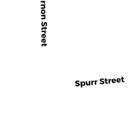
- 16 SOUTH STOWELL ST
Two-Family Residential owned by MAGNANT,JOHN J - 18 SOUTH STOWELL ST
Single Family Residential owned by MCGOURTY,DONNA J - 20 SOUTH STOWELL ST
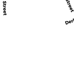
Two-Family Residential owned by ESCRIBANO,DOROTHY E - 11 DERBY ST
Three-Family Residential owned by DRYDEN,JEFFREY R + DONNA M - 16 KENBERMA RD
Single Family Residential owned by MONTANEZ,CYNTHIA